Farmer Networks & FPOs
Geo-Mapped Evidence for Organic Certification and Farm Monitoring
Organic certification depends on demonstrating what was not applied. That is a documentation problem before it is a farming one.
The challenge
- Internal control systems for group certification require per-farm records of inputs, buffer zones, conversion status and inspection history across hundreds of members.
- Buffer zone adequacy and neighbouring conventional plots are assessed by eye during inspection and recorded as a narrative note.
- Conversion-period tracking is manual, and a single mis-dated record can invalidate a member’s status.
How the platform solves it
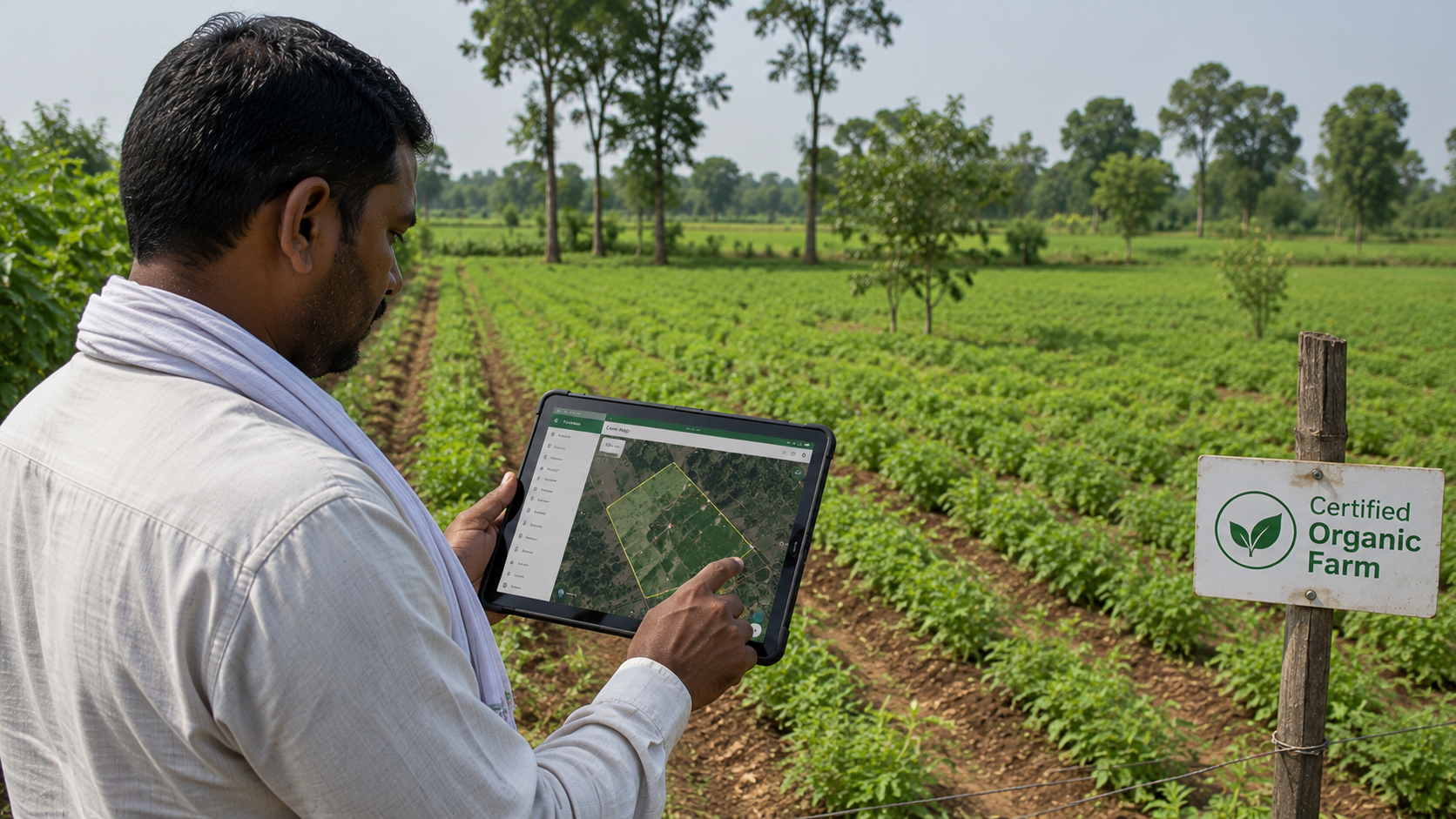
Mapped plots with buffer analysis
Plot polygons enable spatial assessment of buffer zones and adjacency to conventional cultivation, replacing a visual judgement with a measurable one.
Input and practice logging at source
Field officers record inputs, operations and observations against the specific plot with photographic evidence, building the per-farm history the internal control system requires.
Conversion status tracking
Conversion start dates and status transitions are held as structured data with automatic status calculation, removing the manual date arithmetic that causes invalidations.
Inspection workflow and audit trail
Internal inspections are assigned, completed and closed in-system, producing a complete inspection history per member for the external certifier.
Outcomes
- Group certification evidence available per member on demand
- Buffer zone adequacy assessed spatially rather than visually
- Conversion status errors eliminated
- External audits handled from stored records rather than reconstruction
See this configured for your supply chain.
A 30-minute walkthrough with your commodity, geography and compliance obligations on screen.
Book DemoRelated use cases